Unfortunately we were unable to return to the site of the May dig because there was still a standing crop of grass so we switched to an adjacent field where we had opened a series of test pits (1m square excavations) in 2021 and in March this year.
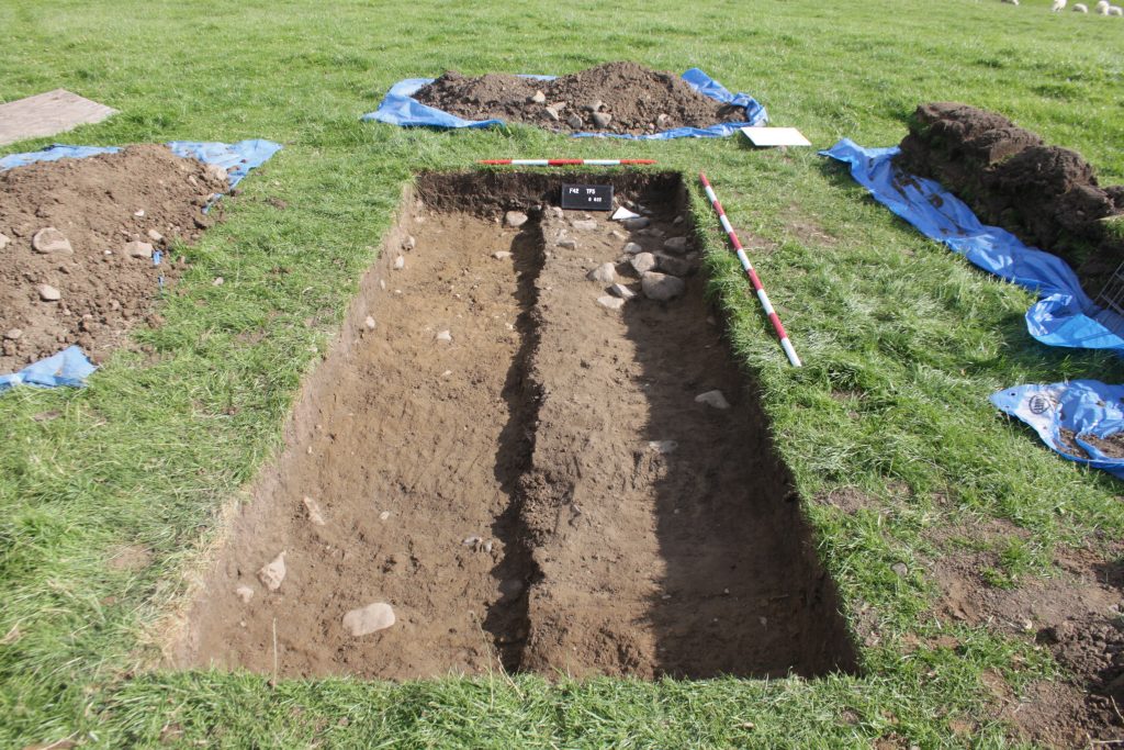
We opened two trenches one across the presumed edge of the agger this was to see if there was evidence of a similar “hard-shoulder” and a second trench on the site of a test pit dug in March about 10m away from the agger which had uncovered a spread of cobbles.
The agger trench was initially 1.5m by 3m later extended by 1m to the south towards the centre of the agger. This trench was very disappointing showing only highly disturbed road material. Below the turf was foundation layer sized and smaller cobbles mixed with top soil lying some 20cm below the surface. There was a greater concentration at the eastern end closest to the centre of the agger. A sondarge was excavated in the northern half and the excavated down by another 20cm which revealed increasingly cleaner natural subsoil. There was no evidence to suggest the presence of a ditch although the soil conditions and weather conditions at the time might have made any evidence difficult or impossible to recognise.
In conclusion any structure which which might have existed has been destroyed, presumably by medieval and more recent ploughing there was no evidence of a “hard-shoulder”. Even though the line of the road in this field is marked by a prominent earthwork it looks like survival of any road structure is patchy.
A piece of chert was found that could possibly have been worked, but personally I am a bit dubious and there was a tiny piece of pottery or fragment of handmade brick. In due course the Portable Antiquities scheme will be consulted.
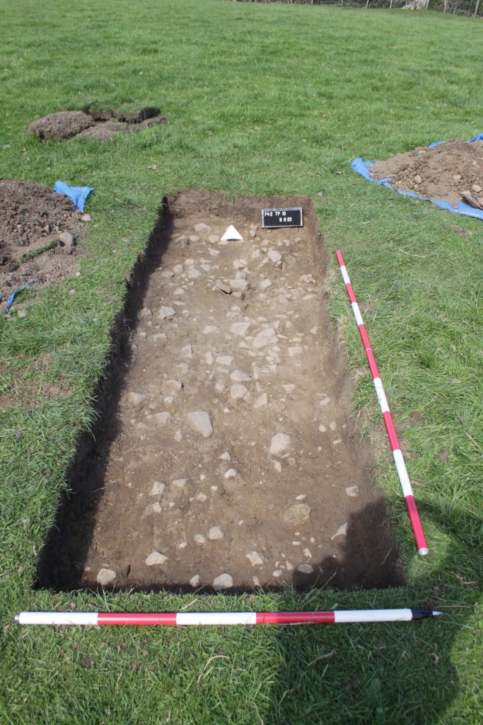
A previous test pit some 16m to the north of the agger had revealed a spread of small stones a second trench was started to relocate and determine the extent of this stone area. Initially a 1 metre square test pit was dug and then expanded by one metre north and south without finding any edge. The cobble spread was directly below the topsoil and composed of stones between 5 and 20cm with the majority being around 10cm. A sondarge 0.5m wide was excavated along the eastern half of the trench. This suggested a depth of about 15cm before merging into natural. This stone layer was comprised of stones with a more angular nature than anything associated with the Roman road so far, though I would say the distinction is subtle.
One piece of post medieval blackware was embedded into the top of the stone layer.
Two test pits were dug one two metres to the south and one one metre to the north. In both there looked to be a continuation of the stone layer across the pits but in both pits only the top soil was removed.
In the southern test pit an arrangement of larger stones was found in the north western corner. This pit was enlarged by 0.5m to the south and to the west these extensions confirmed the apparent isolated nature of this group. The largest stone in the group was approximately 30cm by 30cm and was surrounded by slightly smaller stones and then by stones comparable to the stone layer in the main trench. The trench was recorded and backfiled.
In the northern test pit the top soil was not completely removed before weather conditions suggested we stop and backfill a second piece of blackware was found in the topsoil.
A fuller report is in preparation.